Asheville, made easy.
Today's mountain weather. Links straight to the official Blue Ridge Parkway and national forest status pages, with dated notes. Downtown food and drink on a map, Biltmore and the city's sights, and how to park, all from the official or owners' own sources.
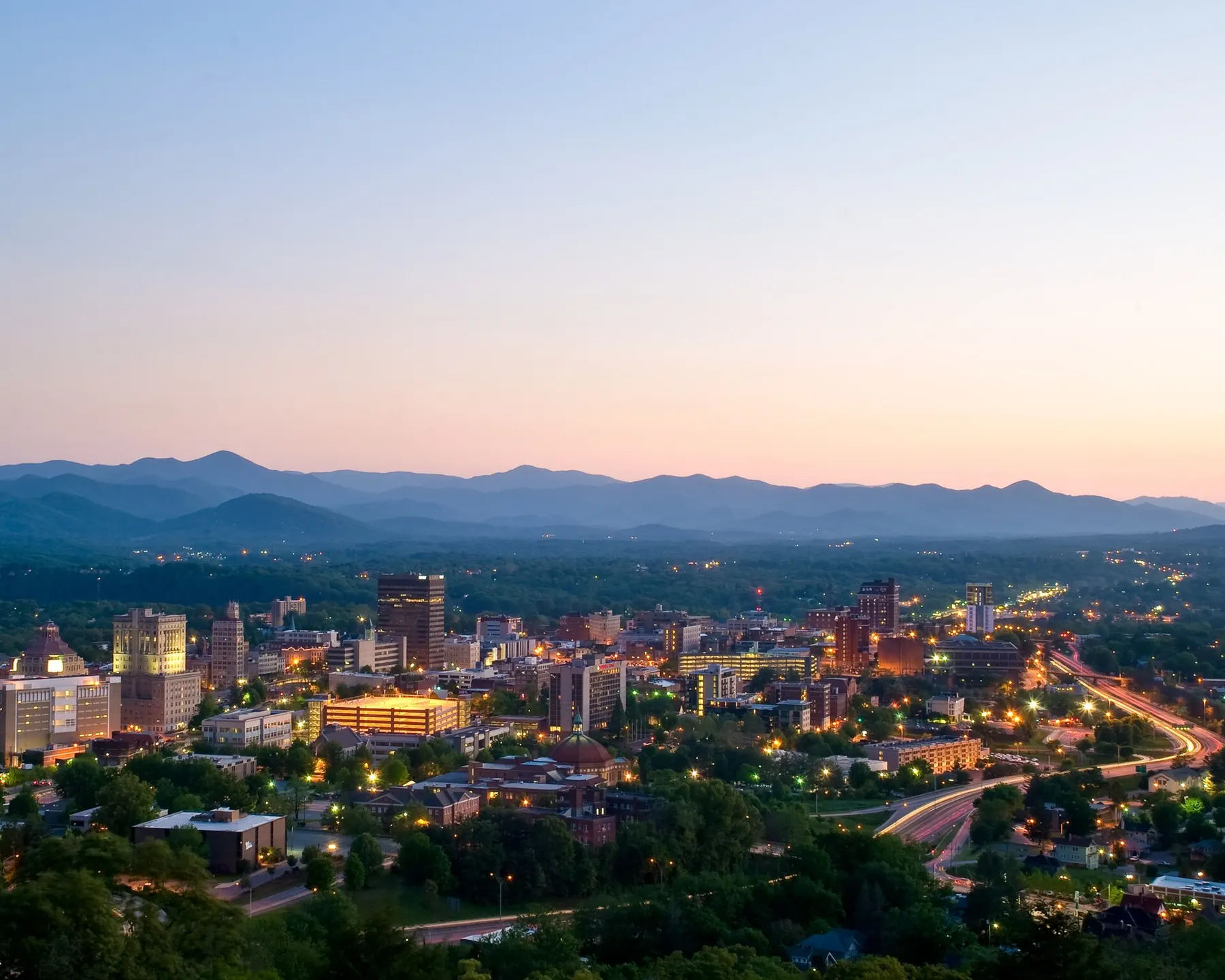
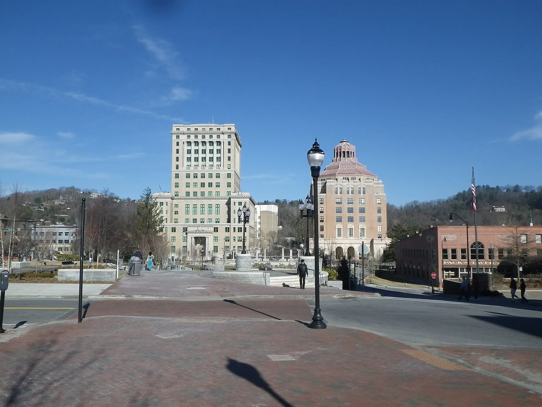
Photo: Asheville at dusk. Michael Tracey, CC0 · credits
Today in Asheville
Live from the National Weather Service. If a box says unavailable, check the official source.
5-day outlook · Asheville
Parkway near Asheville: last NPS update we read
The Park Service's page said "Road status as of 7:39 A.M, Sunday, September 27, 2026" and "Last updated: September 27, 2026". On that update:
- Open or ungated from Mount Mitchell State Park (MP 355.3) south past Asheville to MP 469.1, except USFS Road 63 (Stoney Fork Access Rd) at MP 367.6, closed until further notice.
- Closed from NC 80 to Mount Mitchell State Park (MP 344.2 to 355.3), where NPS prohibits recreation of any kind, and in other sections to the north, from Helene damage.
- Craggy Gardens Picnic Area closed. Possible short daytime single-lane stops near the I-26 bridge work (MP 388.8 to 393.6).
This is a dated note, not live status. Conditions change daily: check the NPS road status page before you go. More detail →
Five areas, one small city.
Downtown, the South Slope brewery blocks, the River Arts District along the French Broad, West Asheville's Haywood Road and Biltmore Village by the estate gates. Tap an area, then open the full map for every listing.
Food, mountains, a castle-sized house.
Eat & drink
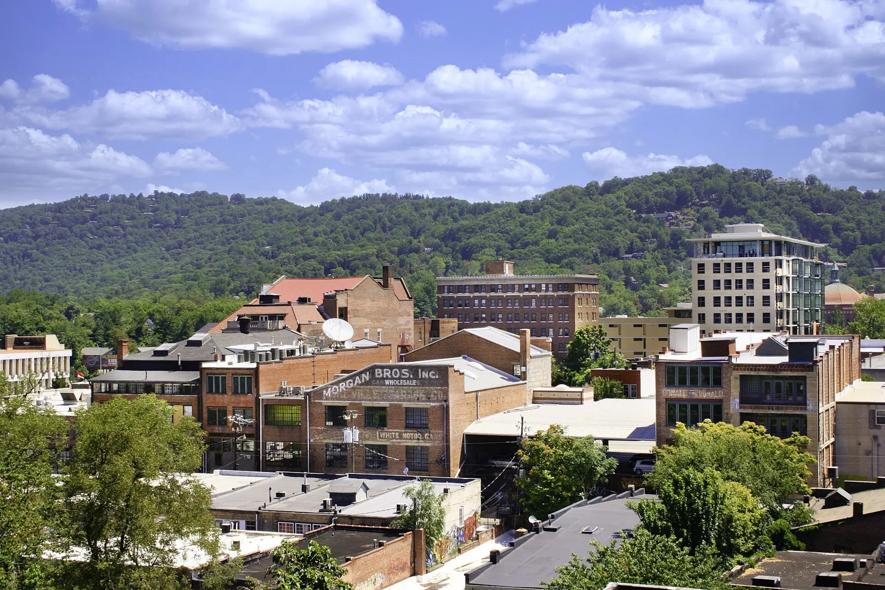
Restaurants, coffee, bars and breweries downtown, on the South Slope, in the River Arts District and West Asheville, on a map.
Parkway & trails
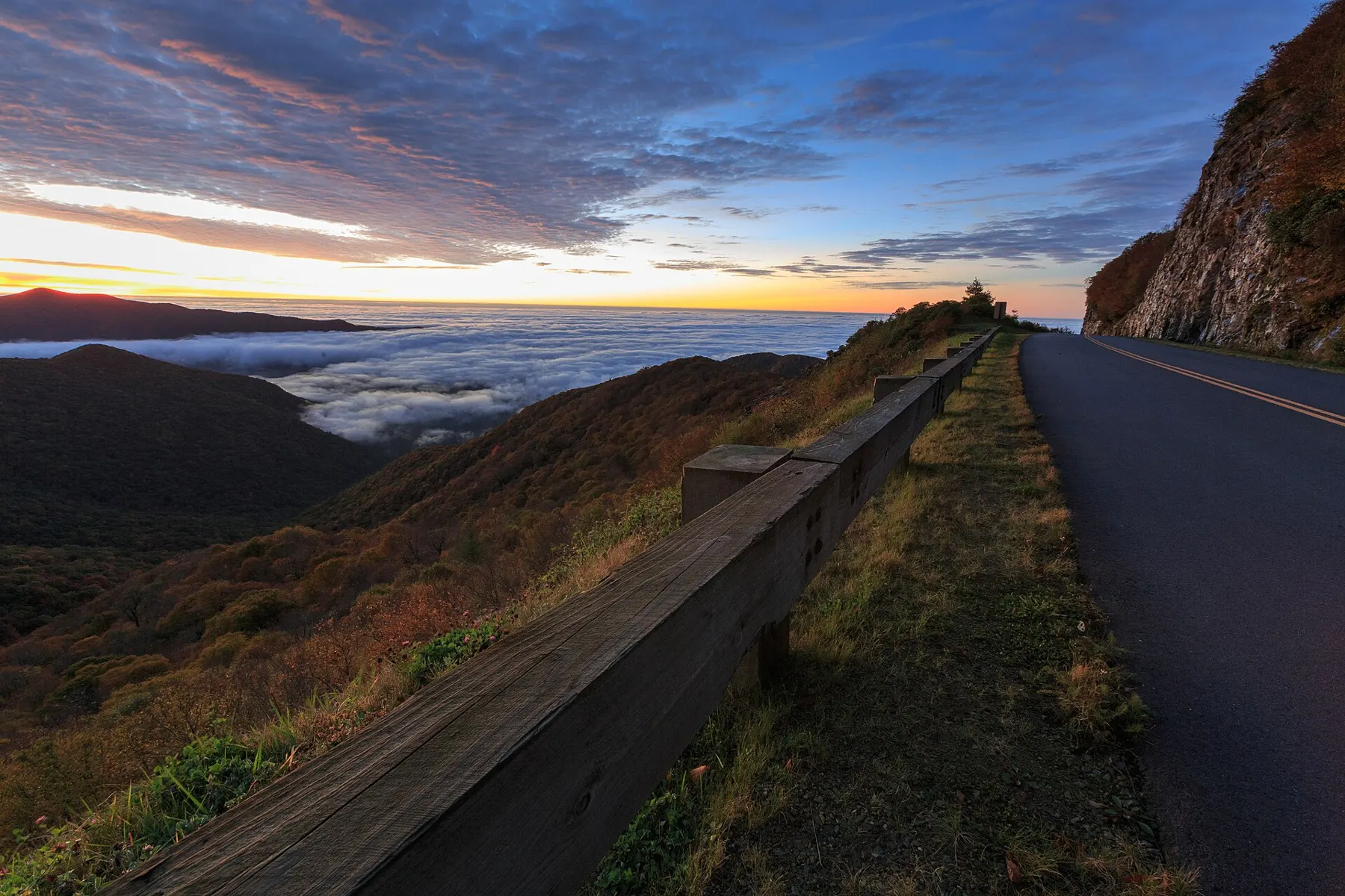
Links to the official road and trail status pages, plus dated notes on what NPS and the Forest Service say is closed.
Biltmore & sights
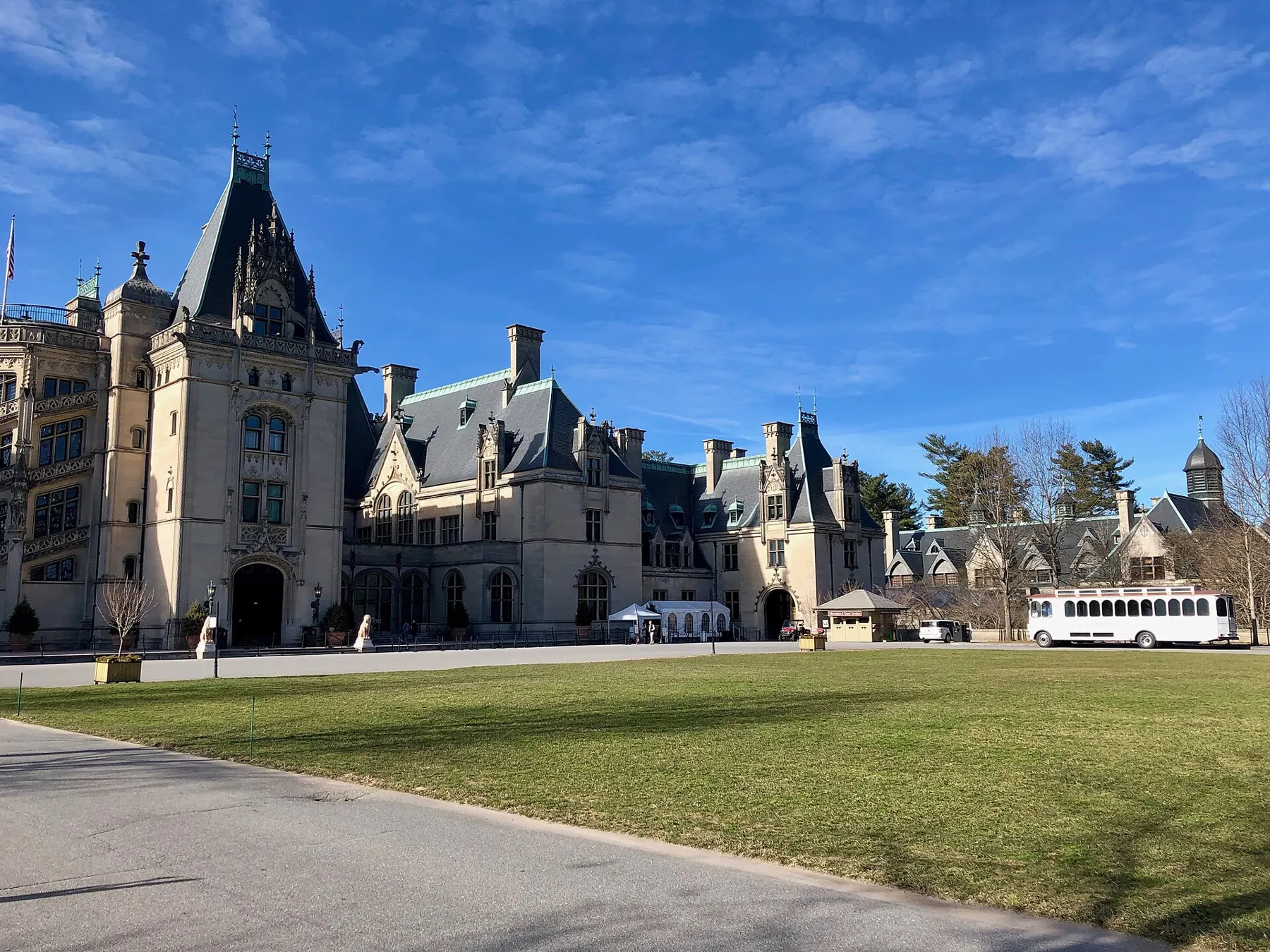
Biltmore, the NC Arboretum, the Folk Art Center, museums, gardens and day trips, with each place's own hours.
Parking & getting around
City garage and meter rates, how to pay, the free-parking lots and the ART bus.
What's on soon.
Check status before you drive or hike.
Hurricane Helene (Sept 2024) damaged roads and trails all around Asheville. The Park Service says the Parkway's road recovery projects are estimated for completion by the end of 2026, and the Forest Service still lists closures in Pisgah National Forest. Closed means closed: some NPS closures prohibit recreation of any kind.
🌐 En español: seguridad en las montañas →
Before a Parkway or trail day
- Check the NPS road status page the morning you go. It lists open, closed and ungated sections by milepost.
- Check the trail status on the NPS North Carolina trails page or the Forest Service alerts for Pisgah.
- Check the forecast for the elevation you're heading to, not just town.
- Obey closure gates and signs. Some closed sections prohibit access of any kind.
From the NPS Blue Ridge Parkway road status, Helene recovery and safety pages, and National Forests in North Carolina, checked Sept 28, 2026.