Parkway & trails: check first.
Hurricane Helene closed roads and trails all around Asheville in September 2024, and some are still closed. This page links you to the official status pages and keeps dated notes of what they said when we last checked. It never tells you a road or trail is open right now.
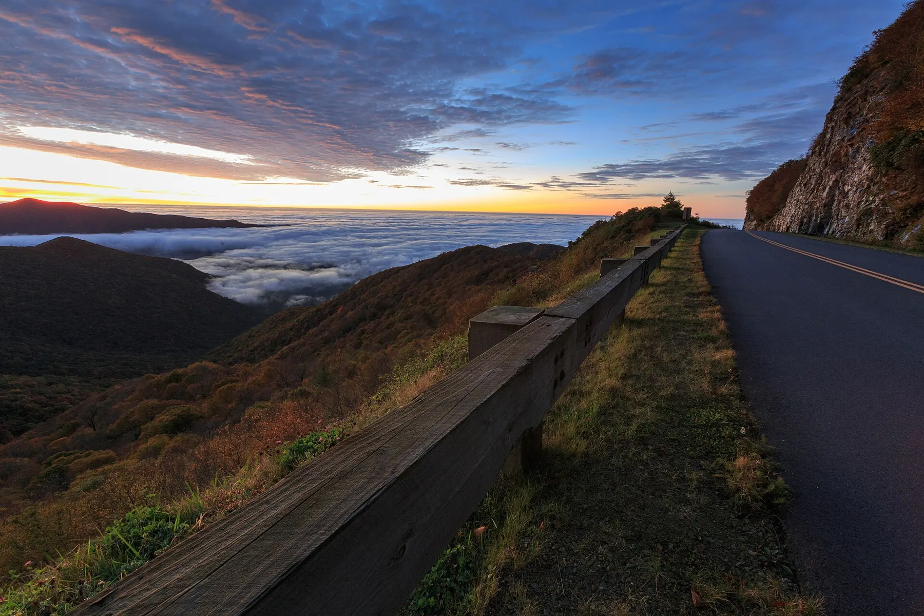
Photo: Road leading to Craggy Gardens. Will Thomas, CC BY-SA 3.0 · credits
Check these the morning you go
These are the agencies' own pages. They change often, sometimes daily.
The Parkway near Asheville, as NPS listed it
From the NPS road status page, which said "Road status as of 7:39 A.M, Sunday, September 27, 2026" at the top and "Last updated: September 27, 2026" at the bottom when we read it on Sept 28, 2026. Mileposts run north to south; Asheville is around milepost 382 to 393.
| Milepost | Section | NPS status, Sept 27 | NPS note |
|---|---|---|---|
| 316.5 | Linville Falls Spur Road | Open | Linville Falls Campground and Picnic Area closed (Helene-related). |
| 317.5 – 342.1 | US 221 (Linville Falls) to Victor Crossing, well north of Asheville | Closed in parts | Helene-related. NPS lists 317.5–327.5 and 333.9–342.1 closed, with recreation or access of any kind prohibited, and 327.5–333.9 open. |
| 342.1 – 344.2 | Victor Crossing to NC Highway 80 | Open | |
| 344.2 – 355.3 | NC Highway 80 to Mount Mitchell State Park | Closed | Helene-related closure. NPS: recreation of any kind is prohibited in this section. |
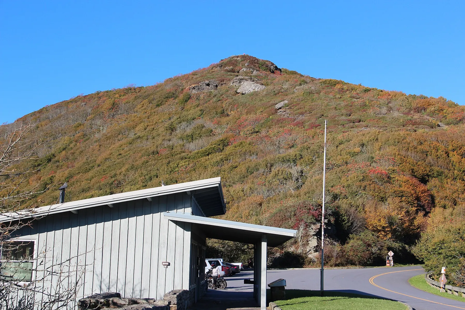
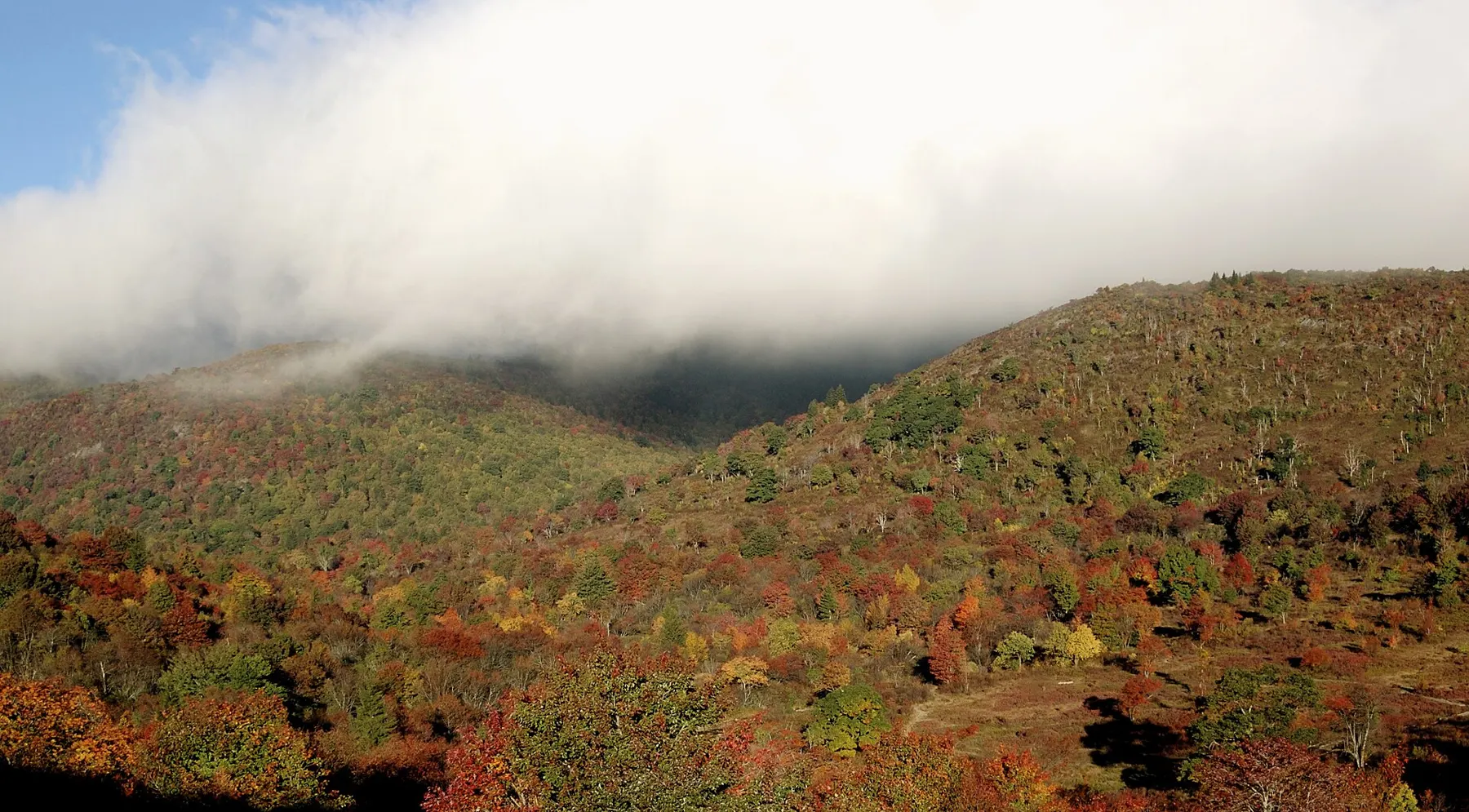
| 355.3 – 364.5 | NC 128 (Mount Mitchell State Park) to south of Craggy Gardens Tunnel, including Craggy Gardens Visitor Center | Open | |
| 364.5 – 367.6 | South of Craggy Gardens Tunnel to north of Craggy Gardens Picnic Area | Open | Craggy Gardens Picnic Area closed (Helene-related). |
| 367.6 | USFS Road 63 (Stoney Fork Access Rd) | Closed | Until further notice (Forest Service gate). |
| 367.6 – 381.9 | North of Craggy Gardens Picnic Area to the Folk Art Center | Open | |
| 381.9 – 382.8 | Folk Art Center to US 70 (Tunnel Road) | Ungated | NPS's term for this section. |
| 382.8 – 384.1 | US 70 to Park Headquarters and Visitor Center | Open | |
| 384.1 – 384.7 | Visitor Center to US 74 (I-40 Exit 53A) | Ungated | NPS's term for this section. |
| 384.7 – 388.8 | US 74 to US 25 (Hendersonville Road) | Open | |
| 388.8 – 393.6 | US 25 to NC 191 (Brevard Road) | Open | The contractor may use short daytime single-lane traffic control for the I-26 bridge work. |
| 393.6 – 443.0 | NC 191 to Balsam Gap (US 23/74), past Mount Pisgah, Graveyard Fields and Black Balsam | Open | Listed by NPS in several shorter sections, all open. |
| 443.0 – 469.1 | Balsam Gap to US 441 at Great Smoky Mountains National Park, past Waterrock Knob | Open | Listed by NPS in two sections, both open. For US 441 itself, NPS points to Great Smoky Mountains National Park. |
What the Park Service says about repairs
NPS says the worst Helene damage is between milepost 317 and 355, and that all road-related recovery projects are "estimated for completion by the end of 2026." It also lists 400+ miles of the Parkway restored for public use and 140 miles of trails reopened. Read the NPS page ↗
Parkway trails near Asheville
The NPS North Carolina trails page was last updated February 19, 2026 when we read it. It marked these trails near Asheville "OPEN*", and the asterisk means: because of Helene damage, use caution, as unseen hazards may be present and conditions can change with the weather.
| Milepost | Trail | NPS difficulty | NPS, Feb 19 |
|---|---|---|---|
| 361.2 | Glassmine Falls (view of falls) | Moderate | OPEN* |
| 364.2 | Craggy Pinnacle Trail | Moderate | OPEN* |
| 364.6 | Craggy Gardens Trail | Moderate | OPEN* |
| 374.4 | Rattlesnake Lodge Trail | Moderate | OPEN* |
| 384.0 | Mountains-to-Sea Trail segment at the NPS Asheville Visitor Center | Easy/Moderate | OPEN* |
| 393.7 – 405.5 | Shut-In Trail / Mountains-to-Sea Trail segments | Moderate to Strenuous | OPEN* |
| 407.6 | Mt. Pisgah Trail (summit view) | Moderate/Strenuous | OPEN* |
| 407.6 | Buck Springs Trail | Easy/Moderate | OPEN* |
| 408.5 | Frying Pan Mountain Trail | Moderate/Strenuous | OPEN* |
| 418.8 | Graveyard Fields Loop Trail | Moderate | OPEN* |
| 419.4 | John Rock Trail | Easy | OPEN* |
| 422.4 | Devil's Courthouse Trail | Moderate/Strenuous | OPEN* |
| 431.0 | Richland Balsam Trail | Moderate | OPEN* |
| 433.8 | Roy Taylor Overlook Trail (paved) | Easy | OPEN* |
| 451.2 | Waterrock Knob Trail | Moderate/Strenuous | OPEN* |
What the Forest Service lists
From the National Forests in North Carolina alerts and Helene page (updated Sept 14, 2026), read Sept 28, 2026.
Talk to a ranger
Hours as the National Park Service's visitor center listings gave them when we read them (Sept 28, 2026).
Blue Ridge Parkway Visitor Center · MP 384
- 195 Hemphill Knob Rd, Asheville
- 9:00 AM to 4:30 PM daily; closed Thanksgiving, Christmas Day and New Year's Day
- Maps, rangers, exhibits and a short hiking loop
Folk Art Center · MP 382
- On the Parkway just north of US 70 in east Asheville
- NPS lists 10:00 AM to 5:00 PM daily; closed Thanksgiving, Christmas and New Year's Day
- Run by the Southern Highland Craft Guild
Craggy Gardens Visitor Center · MP 364
- 10:00 AM to 5:00 PM; 10:00 AM to 4:00 PM from Nov 1 to 16
- Closed for the season from Nov 17, 2026 to Apr 14, 2027 (NPS)
- The picnic area nearby is closed after Helene (NPS, Sept 27)
Up high, plan for colder and closed.
Obey closure gates and signs: NPS says recreation or access of any kind is prohibited in some closed sections. NC State Parks says Mount Mitchell State Park can be reached only from the Asheville side of the Parkway, and there are no gas stations between Asheville and the park.